Soil testers are essential tools used to analyze the physical and chemical properties of soil, making them vital for construction, agriculture, and environmental studies. In Bangladesh, where infrastructure development and agricultural productivity are key priorities, the demand for accurate and reliable soil testing equipment is steadily growing.
For the construction industry, soil testers help determine soil stability, moisture content, and compaction levels critical factors for ensuring safe and durable structures. In agriculture, these devices assist farmers and researchers in evaluating soil fertility, pH levels, and nutrient content, leading to better crop planning and sustainable land management.
A wide range of soil testing equipment is available in the Bangladeshi market, including digital moisture meters, penetrometers, pH meters, compaction testers, and soil classification kits. These tools are designed for both field and laboratory use, offering quick and precise readings that support informed decision-making.
Geophysical Survey Equipment Price in Bangladesh
Geophysical survey equipment plays a crucial role in mineral exploration, groundwater detection, infrastructure planning, and environmental studies in Bangladesh. With the growing demand for natural resources, urban development, and scientific research, geophysical surveying has become an essential tool for engineers, geologists, and government organizations.
In Bangladesh, geophysical survey equipment is widely used in oil and gas exploration, groundwater investigation, mining, road and bridge construction, environmental monitoring, and geological mapping. These instruments help professionals analyze underground structures without digging or damaging the ground surface. As a result, many organizations such as research institutes, engineering firms, and government agencies are investing in modern geophysical technology.
The price of geophysical survey equipment in Bangladesh depends on several factors, including technology type, measurement accuracy, depth capability, brand, and software integration. Basic survey tools may cost a few thousand dollars, while advanced systems can cost several million taka.
What is Geophysical Survey Equipment?
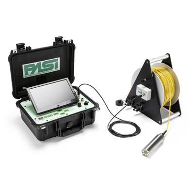
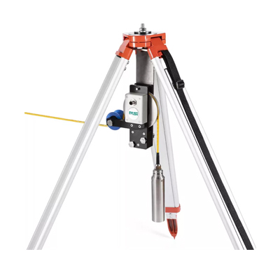
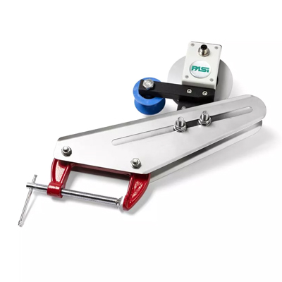
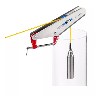
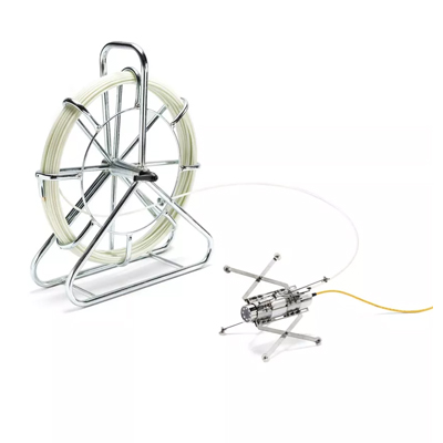
Geophysical survey equipment refers to specialized instruments used to measure the physical properties of the Earth’s subsurface. These tools analyze variations in electrical conductivity, magnetic fields, seismic waves, and gravity to identify underground features such as water reservoirs, mineral deposits, or geological formations.
Some common geophysical survey techniques include:
- Electrical resistivity surveys
- Seismic surveys
- Magnetic surveys
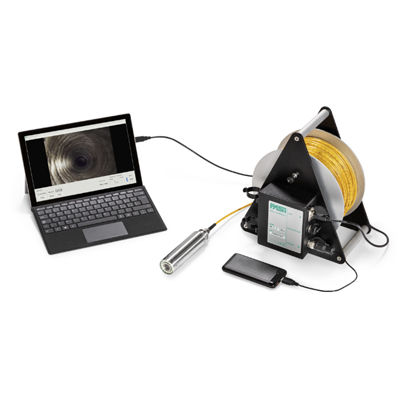
- Ground penetrating radar (GPR) surveys
- Gravity surveys
These technologies allow engineers and geologists to map underground structures accurately and efficiently without excavation.
Geophysical Survey Equipment Price in Bangladesh
Below is an estimated price range for commonly used geophysical survey equipment available in Bangladesh.
| Equipment Type |
Application |
| Electrical Resistivity Meter |
Groundwater exploration, soil investigation |
| Ground Penetrating Radar (GPR) |
Underground utilities, archaeology, and concrete inspection |
| Seismograph System |
Earthquake monitoring, seismic surveys |
| Magnetometer |
Mineral exploration and geological surveys |
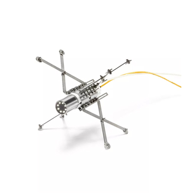
| Borehole Logging Equipment |
Subsurface geological analysis |
| Gravity Meter |
Oil, gas, and mineral exploration |
Prices may vary depending on brand, technology specifications, accessories, and import costs.
Importance of Geophysical Survey Equipment in Bangladesh
Bangladesh is a country with growing infrastructure development and increasing demand for natural resources. Geophysical surveys help experts make informed decisions before starting large construction or exploration projects.
1. Groundwater Exploration
One of the most common uses of geophysical equipment in Bangladesh is groundwater detection. Electrical resistivity meters are widely used to identify underground water layers, especially in rural and drought-prone areas.
2. Oil and Gas Exploration
Bangladesh has several gas fields, and geophysical technologies such as seismic equipment and gravity meters are used to locate potential energy resources.
3. Infrastructure Development
Before building bridges, highways, tunnels, or large buildings, engineers perform geophysical surveys to understand soil conditions and underground structures.
4. Environmental Studies
Geophysical instruments help researchers study soil contamination, groundwater pollution, and geological hazards, which are important for environmental protection.
Factors Affecting Geophysical Equipment Prices
Several factors influence the cost of geophysical survey equipment in Bangladesh.
Technology and Accuracy
Advanced instruments with high-precision sensors and deep penetration capability are significantly more expensive than basic equipment.
Brand and Manufacturer
Well-known international brands often produce more reliable equipment, which usually costs more than locally assembled systems.
Software and Data Processing
Modern geophysical equipment often includes data analysis software, visualization tools, and mapping systems, which increase the total cost.
Import Duties and Logistics
Most geophysical instruments are imported from Europe, the United States, China, or Japan, so shipping costs and import taxes can affect final prices in Bangladesh.
Popular Geophysical Equipment Brands
Several international companies manufacture high-quality geophysical survey equipment used worldwide. Some of the most recognized brands include:
- ABEM
- Geometrics
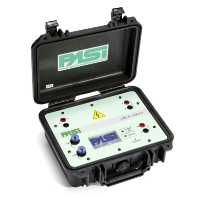
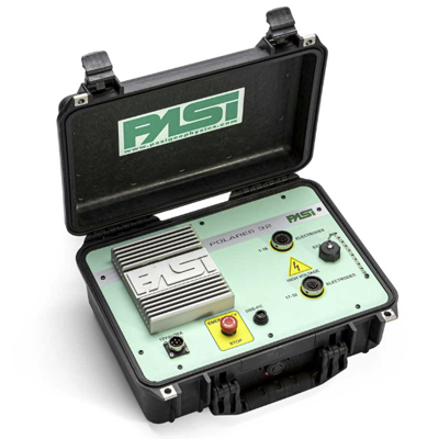
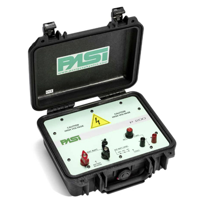
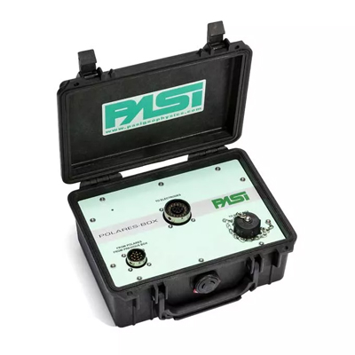
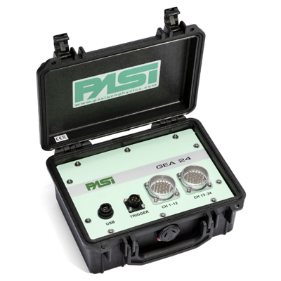
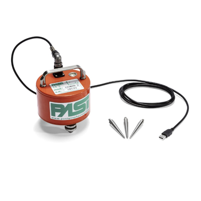
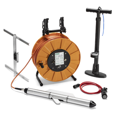
- PASI
- GSSI
- Scintrex
- Zonge Engineering
- Iris Instruments
These manufacturers produce equipment used in scientific research, mining exploration, environmental monitoring, and engineering projects.
Where to Buy Geophysical Survey Equipment in Bangladesh
In Bangladesh, geophysical equipment is usually purchased through:
- Scientific equipment suppliers
- Engineering technology companies
- Authorized international distributors
- Research and laboratory equipment providers
Many suppliers also offer installation, calibration, training, and maintenance services to ensure proper use of the equipment.
Future of Geophysical Technology in Bangladesh
As Bangladesh continues to expand its infrastructure, energy exploration, and environmental research, the demand for advanced geophysical survey equipment will increase. Government agencies, universities, and private companies are increasingly adopting modern technologies such as 3D seismic imaging, high-resolution GPR systems, and digital resistivity instruments.
These technologies will play a vital role in improving resource exploration, construction planning, disaster management, and environmental sustainability in the country. Geophysical survey equipment is an essential tool for understanding the Earth’s subsurface and supporting major engineering and exploration projects.
With the country’s growing focus on energy resources, infrastructure development, and environmental protection, investment in modern geophysical survey equipment is expected to increase significantly in the coming years.


 Calibration
 HVAC/Clean Rooms
 Electrical
 Temperature Meters
 Power & Energy
 Mechanical & Maintenance
 Pharma, Health & Biomedical
 Drone Solution
 Networking
 Transformer & Relay Testing
 Insulation, Resistance and Battery
 Fault Testing & Diagnostics
 Lightning Protection Solution
 Education, Research & Development
 Civil Equipment
 Renewable Energy
 Cleaning and supplies
 Power Tools
 Safety Tools
 Hardwares
 Construction Supply
 Stationeries
 Garden Tools
 Accessories
 Machines
 Hand Tools