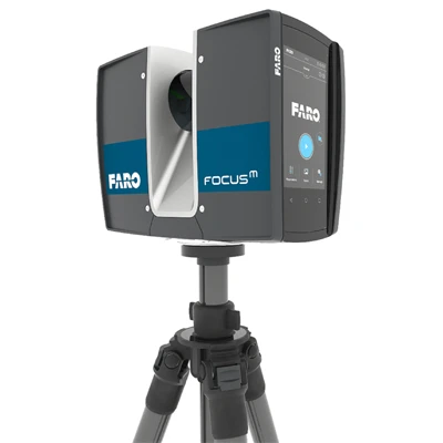
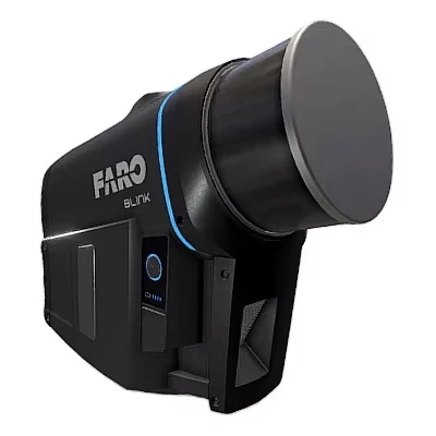
Model: FARO® Focus Laser Scanning Solution
The FARO® Focus boasts the fastest time to better data through the unique power of Hybrid Reality Capture™, powered by Flash Technology™*. But great data capture doesn’t always mean a complete solution. While in the field, the Focus offers highly accurate 3D representations of any environment or object even in extreme conditions with real-time, pre-registered feedback through the included FARO Stream™ App. Transfer point cloud data to the FARO Sphere® XG Digital Reality Platform via Stream for faster decision-making and seamless transition to third-party software and to provide broader accessibility for key stakeholders.
The FARO Focus is a complete, easy-to-use solution for reality capture professionals, with intuitive hardware and versatile software offerings.
FARO Focus Performance
Hybrid Reality Capture™
FARO continues to bridge the gap between speed and accuracy with Hybrid Reality Capture™, powered by Flash Technology™*.
Flash Technology™ improves on-site productivity and ensures predictable accuracy on every project or forensic investigation.
Multiple Point Clouds, Multiple Devices
Sphere XG is designed as an easy-to-use data ecosystem containing data from various FARO hardware products. It allows users to bring in multiple point clouds from different sources to improve the visibility of a scanned area. This can facilitate better decision-making, project management, and collaboration with clients and stakeholders. Users can also review and compare multiple point clouds of the same location over time to understand changes in the data, track progress, and identify serious issues.
Software Compatibility
FARO offers a variety of export options for point cloud data to make importing into familiar third-party software, like Autodesk® ReCap™, a smoother process.
Super-High Color Resolution
The latest color technology enables the Focus to capture scans with up to 266-megapixel color information for clearer point cloud data.
*Panocam is required to operate Flash
Key Features: FARO® Focus Laser Scanning Solution
Halve the time spent scanning using Hybrid Reality Capture , powered by Flash Technology Over 50% faster than traditional methods.
Improved scanning range up to 400 meters leads to superior area coverage per scan position. It is ideal for geospatial applications like topographical surveying, boundary surveying, or infrastructure projects.
No more "scanning blind".
Pre-registered data and greater visualization through the FARO Stream App help to identify gaps in the data or scan errors on-site in real time.
Upload data to Sphere XG and share it with key stakeholders for quicker decision-making or process data offline directly in FARO SCENE Software.
Control the scanner through the Stream App or directly on the screen through the intuitive interface.
Create projects, change scanner settings, manage image resolution, opt for color or black-and-white scans, group scans through clustering, and add annotations.
The rugged design, housing, and IP 54 rating help withstand the harshest environments daily.
Integrated high-speed SSD data storage of 512GB for maximum scan capacity and significantly faster processing.


 Calibration
 HVAC/Clean Rooms
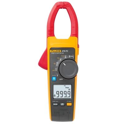
 Electrical
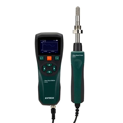
 Temperature Meters
 Power & Energy
 Mechanical & Maintenance
 Pharma, Health & Biomedical
 Drone Solution
 Networking
 Transformer & Relay Testing
 Insulation, Resistance and Battery
 Fault Testing & Diagnostics
 Lightning Protection Solution
 Education, Research & Development
 Civil Equipment
 Renewable Energy
 Cleaning and supplies
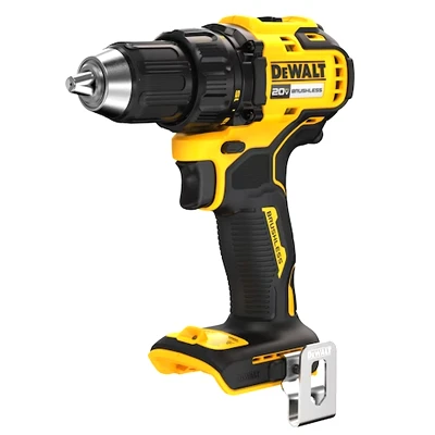
 Power Tools
 Safety Tools
 Hardwares
 Construction Supply
 Stationeries
 Garden Tools
 Accessories
 Machines
 Hand Tools